The Price of Experimentation

The Price of Experimentation
Sunday, May 5, 2013

I have been postponing writing this entry. In light of recent events, I needed some time to reflect on my experience on the Tahoe-Whitney traverse. Lick my wounds if you will. Lessons were learned. There were many highs and even deeper lows. For one, I had to bail early on the trip, something I’ve rarely had to do in my years of backcountry exploration. Secondly, conditions were obviously less than ideal. That was a given and to be expected. Did I have a blast? Absolutely! Was there an heir of type 2 masochism? Probably 60% of the time. Did I achieve what I set out to do? Partly.
Here’s a run down of the events that transpired during my ~100+ miles along my attempt to ski through the High Sierra, from my doorstep in Tahoe to the lower 48’s highest peak; Mt Whitney.
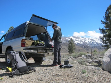
First of all we were not able to ski out from our doorstep. This year’s historic low snow pack and early melt forced us to amend our plans early in the planning stages. Our alternative was to start about 150mi south, at Sonora Pass. This was partly the right decision. Our thinking was the further south we got, the more snow we would see at higher elevations. Yes, we saw more snow at Sonora Pass than North Tahoe, but hindsight we should have started even further south. Tioga Pass and Toulumne Meadows was the first consistent snow pack we saw. Lesson 1 learned.
Day 1 Sonora Pass - Kennedy Canyon 7mi
Forecast predicted 50-60mph ridgetop gusts, a high of 30, low in the teens and 3-6” of precipitation. Sounds like a perfect way to ease into the trip, especially when you have an unnamed pass to go over at 10,700’. We were able to ski almost immediate after parking the car at a pull out on hwy 180 at 8400’. Packed snowmobile tracks made for easy going, but the winds definitely increased as we approached our first pass.
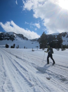
Conditions didn’t improve much for the descent. Our first taste of wind scoured refreeze. Trauma wasn’t feeling up to the challenge in his 3-pin bindings and leather teli-boots. I decided to put the Aliens and Vectors to the test. Can you say chaaaaaattter?
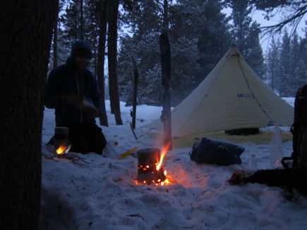
First evening was cozy in the Duomid. Camp chores go quick when the mercury is dropping. Thankfully the Sidewinder stove added some warmth and ambiance in wood burning mode. A definite highlight to the trip.
Day 2 Kennedy Canyon - Wilma Lake 16mi
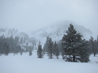
We did indeed get about 4-5” of fresh snow overnight. This was actually a blessing in disguise. The fresh snow made it much easier to travel over the icy hard pack we experienced the day before. Visibility was low all day, which caused for a few minor navigational errors. We quickly remembered how convoluted the PCT is routed through northern Yosemite to Sonora Pass. Amazing how effortless it seems when you can blindly follow a trail. Not the case when features are buried under several feet of snow and distant landmarks are limited to the trees in front of you.
After a circuitous route up to Dorothy Lake Pass, we were looking forward to our first ‘powder’ descent of the trip and 9 miles of down hill through Jack Main Canyon. The canyon mitigated the chore of constantly consulting the map and the rolling terrain was expedited with the fish scales under foot. We crossed a few frozen lakes which made up time with a more direct route, but time was always lost trying to find a snow bridge across the swollen rivers. We managed to find the only dry ground along the shores of frozen Wilma Lake, which made camp chores much easier.
Day 3 Wilma Lake - Benson Lake 11mi
This was by far the hardest day yet on the trip. We went over 3 passes, all through convoluted terrain, and got our first taste of things to come. We saw more bare ground through this section then we had all trip, which made figuring out the most efficient means of travel a bit of an experiment. Would it be faster to link snow patches so we could ski, or try and find portions of melted out trail? Would it be faster to boot pack on the early morning re-freeze or put skins on? This was all part of the learning process. End result, it takes much longer to get from point A to point B regardless. Another first for the trip: fording rivers in ski gear!
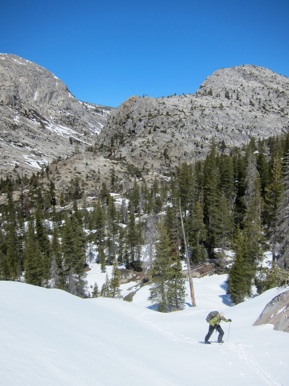
We also got a taste of what full on schwacking in ski boots can be like. Little did we know just how bad it ultimately was going to get. Kerrick Canyon was the beginning of our problems, but at least we were able to find a direct (and snowy) route over to Benson Lake, rather then the indirect PCT route over Selden Pass. We ended up going over an unlikely saddle to the east of Piute Mountain and thankfully found one of the only breaks through the imposing cliff band.
Day 4 Benson Lake - Return Creek 12mi
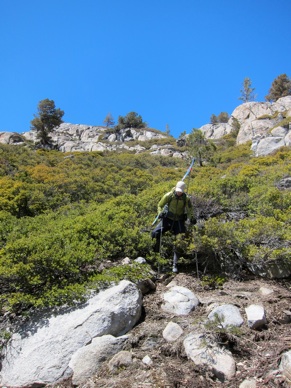
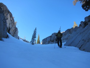
Correction, today was by all means the hardest day yet on the trip. Return Creek will forever be remembered as the pits of hell, both to my healing wounds and my skewed perception of sanity. In realizing our lower than expected mileage days, unfavorable conditions and limited food supplies, we started looking at alternative route options. We could stick to the longer and guaranteed to be more circuitous PCT route, or roll the dice and take a direct route down Matterhorn Canyon; a route we would have no prior information on. Option B was half the distance, but much lower in elevation, all but guaranteeing a snowless route. It would ultimately drop us onto the Toulumne River and the heavily maintained and the sure to be snow-free trail that heads towards Hetch Hetchy. Two variables stood in our way. This linking section would be snowless and trail-less, and we would be dropping into something called Matterhorn Canyon. We envisioned steep, impassable canyon walls, any combination of manzanita, chinquapin and willow schwacking, and most undoubtably, lots and lots of walking. Below is a visual run down of what transpired over the next day and a half.
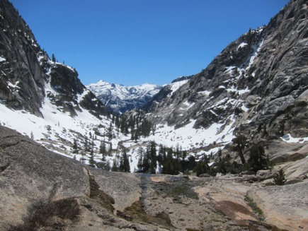
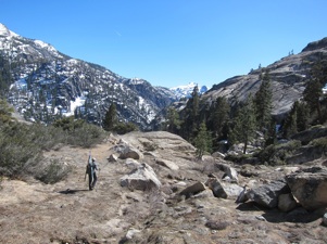
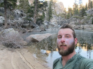
At some point we hit the trifecta of collective misery. Head high manzanita, house size boulders, and 6ft long sticks strapped to our packs. You name it, we did it. Too high to get over, too low to get under. We were indeed stuck in the middle and the pain was thunder. As night fell, we could see the end of the valley, and our freedom, a trivial distance ahead. Forced to bivy among the towering boulders, we found one of the only flat camp-able spots we saw all day. I don’t think I even ate dinner that night. The fetal position felt more appetizing.
Day 5 Pits of Hell - Lyell Canyon 16mi
At some point during the previous day, I think all the walking, scrambling and cursing took a toll on my feet. Beyond the blisters I had been dealing with on my heels, I had a new concoction of ailments. Dead nerve endings on my big toes and a persistent pressure point over the tarsometatarsal joints in my feet. I believe I hit the limit of time one should spend walking in ski boot. Lots of vitamin-I throughout the day to numb the pain, but at least we hit snow line again through Toulumne Meadows and could take advantage of the kick and glide.
Day 6 Lyell Canyon - Mammoth Lakes 31mi
Today was the first day where my expectations heading into the trip matched my reality. It felt great to finally be into the High Sierra and heading over familiar passes. Donahue was first on the tick list and the miles up Lyell Canyon melted by, in part to the consistent snow pack and gradual gain in elevation. So this is what efficient ski travel can be like! Our original goal for the day was to cover the ~15 miles to Thousand Island Lake, but to our surprise we were there by lunch time. With only another 15ish miles to town, once the thought of a Town Day getting into your brain, it’s hard to think rationally. And with our buddy Nacho living in town, it became hard to focus our efforts anywhere else.
In not knowing what the road conditions were going to be like between Agnew Meadow and Minaret Summit meant we could either be hitching, walking or skiing. At this point walking barefoot on dry pavement was beginning to sound pretty plush, especially with the condition of my feet.
Night fell by the time we rounded Minaret Summit, our third and final pass for the day. What this left was a nicely groomed downhill cat-track towards Mammoth ski resort and the town of Mammoth, all under moon light. Looking back, this was one of the top highlights of the entire trip. Even though I wasn’t able to progress much further past this, its nice knowing I ended the trip on a high note.
Conclusion
After celebrating our arrival to Mammoth Lakes, eating lots of ice cream and catching up on soem TV time, I spent the better part of a day working with Tom out of Tom Wohrman Sports trying to get a better fit in my boots. He worked his magic overnight and tried punching out a few trouble spots, but unfortunately the damage was done. I tried skiing out with Trauma as he left town, but had to turn back. After a long debate, we decided snow conditions were safe enough for Trauma to continue on solo. I just heard from Trauma via email earlier this week that he successfully made it all the way to Whitney. Be sure to check out his site over at justinlichter.com.
All in all I felt I learned a lot on this trip. It reminds me on my early days along the Appalachian Trail and the learning curve I had when I first got into long distance trekking. I just need to be patient with the process and success will come in many different forms. Until then, the ball is already rolling around in my head for future trip potential. Stay tuned!
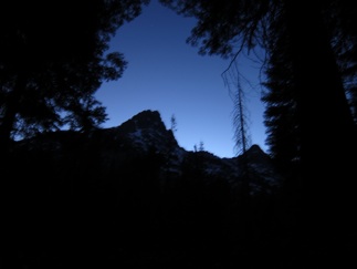
The highs were high, the lows were low. Alpine Glow in Lyell Canyon. Some of the more memorable travel conditions we saw.
Last minute preparations. East Side Sierra, Hwy 180.
(left) Starting conditions vs conditions seen at the pass (below).
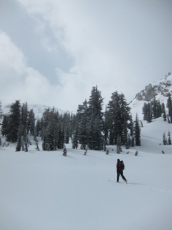
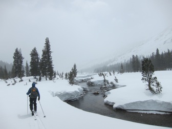
(above) Early morning conditions. Great glide, low visibility.
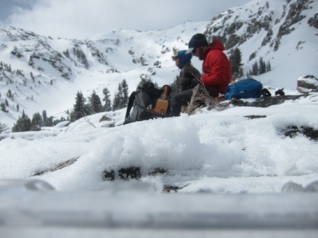
(left) Break to fuel and re-assess our route.
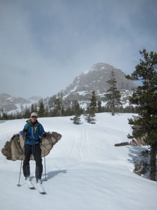
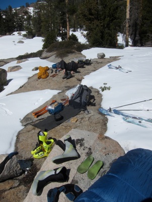
(left) Drying out on warm slabs.
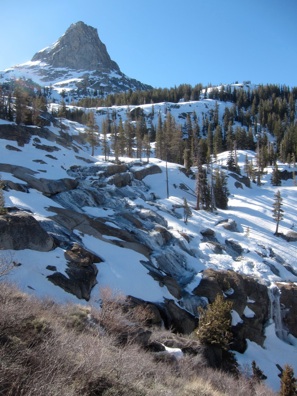
(below) Our dreams of a snowy traverse begin to dry up.
Trying out various modes of transportation. None of which felt very efficient.
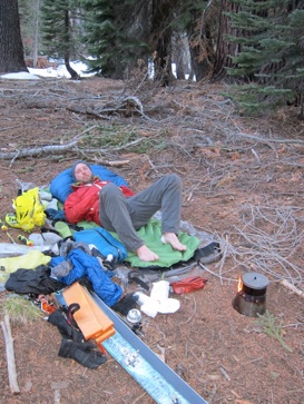
Exhausted, but happy. 10+ hours on the go to only put in ~11mi. Frustrating at best, but the Sierra never fails to impress with beautiful campsite vistas.
(left and below) Skiing over Benson Pass through ‘good conditions.
(bottom) The end of the snow and what’s to come.
(above) Scenic, yes. Hell to come, for sure. Feeling mentally drained after 7+ hours on the go through challenging conditions. The worst is yet to come!
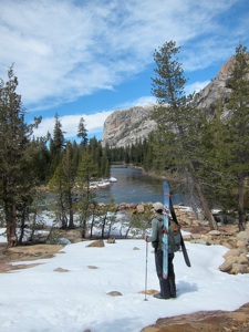
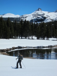
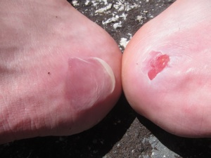
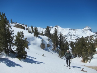
(above) Last look down the Grand Canyon of the Toulumne (above right) Miles in ski boots taking their toll. (right) Prime conditions through Toulumne Meadows. Cathedral Peak in the background.
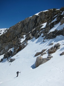
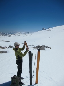
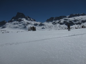
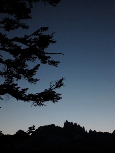
(left) Ascending Donohue Pass. (right) De-skinning for the long descent to Island Pass. Ritter and Banner in the background.


